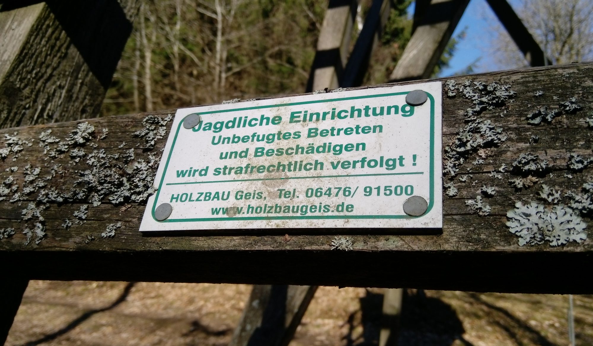
Some time ago, together with many others, we collected GPS coordinates of hunting facilities in painstaking detail.
In some areas of Germany you can use this to see where hunters’ headquarters are located. To do this, please click on the “stack” for the data levels and display the corresponding levels.
TIP: if the map is too slow, hide the level “Ansitze etc.”, select the desired area and then show the layer again.
Information about the hunting areas in the municipalities of Neunkirchen, Burbach, Wilnsdorf and possibly Siegen
Due to different data providers, the coordinates are not always precise, but of these coordinates the object must be visible and in the immediate vicinity (e.g. a hide 20 m in the forest, but the coordinates are on a forest path)
For complete GPX or KML data please email copperfield.irt@gmail.com
This map is NOT intended to be used for sabotage acts!